October 09, 2026



Most people arrive at walking through a big day out — a summit, a coastal path, twelve miles of the Pennine Way — then wonder why their knees ache and their boots have rubbed the skin off both heels. The quieter way in is better. A footpath that starts at the edge of town, loops through two fields and a strip of woodland, and gets you home before the light goes. Get that right a handful of times and longer days look after themselves.
What follows is practical: how to spot an easy route, what the signs actually mean, what to carry, and how to cross working farmland without giving walkers a bad name.
Three things matter more than distance. A reasonable surface, regular chances to turn back, and something worth looking at. Two to four miles is plenty for a first outing, especially if the ground is wet.
In England and Wales, public rights of way are recorded on the definitive map kept by the local highway authority — usually the county or unitary council. Four types matter to walkers, and the colour of the arrow tells you which you are on:
A waymarker shows the legal line of the path, not a nice surface. If a waymark points into a crop field, walk the marked line along the field edge rather than trampling a shortcut. In Scotland the system is different: responsible access over most land is a statutory right, and signs are more likely to say "please" than to cite a category.
Footwear decides whether you enjoy the day more than anything else you own. Trainers are fine on towpaths and railway trails in dry weather. Anything with mud, tree roots or an angled descent wants a boot or a sturdy shoe with proper grip and a bit of ankle support. If your heels are new to this, wear them around town for a week first.
Beyond that, keep it simple: a waterproof jacket that packs small, a warm mid-layer, water, a snack, a charged phone, and — in winter — a small headtorch. Spare socks in the bag are the cheapest comfort available. Cotton jeans and a heavy coat are a poor combination; once denim is wet it stays wet and stops keeping you warm.
An Ordnance Survey Explorer map at 1:25,000 shows field boundaries, gates and paths in enough detail to plan a short loop. The 1:50,000 Landranger is fine for a familiar stroll but skips some detail. Phone apps are convenient, and worth having, but download the area for offline use before you leave — signal in a wooded valley is not guaranteed.
Learn three things and you can read most of the map: which way is north, what a contour line means, and how to match a bend in the path to a bend on the page. Fold the map so only the next junction is visible. If you have to stop and rotate it, that's normal, not a failure.
Expect mud and standing water long after the rain stops. Ground-nesting birds are sitting from March onwards, so keep dogs close and stay on the line of the path across open ground and field edges.
Hard ground, easy walking, and nettles and bracken leaning into narrow paths — trousers beat shorts on overgrown sections. Ticks are active in long grass, so check yourself and your dog at the end of the day.
The best month for a first long loop: dry underfoot, clear views, cool enough to keep moving. Wet leaves on roots and stones are genuinely slippery, and daylight goes quickly in late October. Take the torch.
Plan shorter than you think. Flooded meadows, gate latches swollen shut, and paths that are technically open but ankle-deep in mud. A low-level lane walk is a perfectly honourable winter route.
Almost all land you cross on a footpath is someone's workplace. The basics are simple and worth repeating. Leave gates as you find them — open if open, closed if closed. Use stiles and gaps rather than climbing walls. Don't walk through crops. Take litter home, including the apple core you might think is harmless. Stand to one side for horses and their riders.
With livestock, slow down and give animals space. Cattle with calves can be unpredictable, and walking organisations generally advise letting a dog off the lead if cattle come at you, then moving calmly to the field edge rather than running. A friendly "morning" to the person on the quad bike covers most situations.
Tell someone where you're going and when you expect to be back. Check the weather, and be honest about your own fitness rather than the route's difficulty. Carry a paper map as well as a phone. If you have a heart condition, joint trouble or you're returning to exercise after a long break, a word with your GP before a longer day out is sensible.
Start with an hour. Then two. Then a half-day with a pub or a bench at the midpoint. After a season of that, the longer routes stop being intimidating and become something you plan for the pleasure of it.
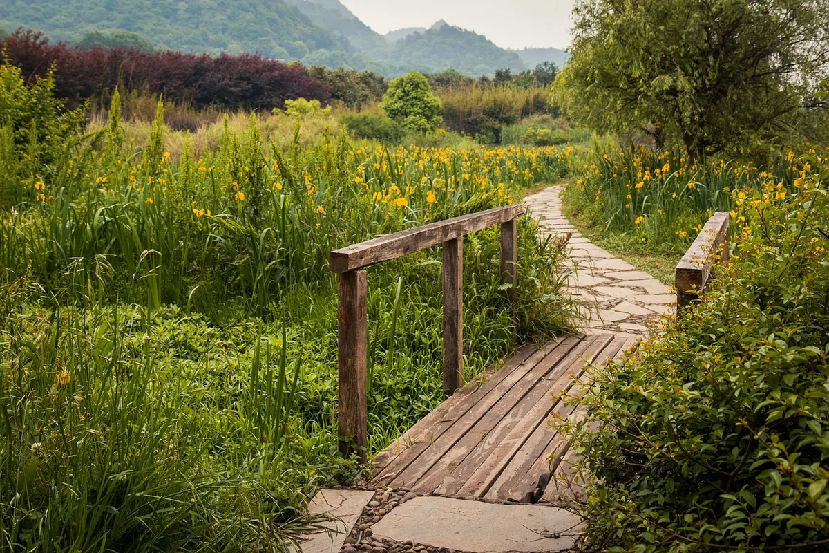
Photo: cernetice / Pixabay

Local news and stories from the Cairn community.
Copyright © 2026 Cairn Times. All rights reserved. Cairn Times.